Old maps of the Sholebroke area:
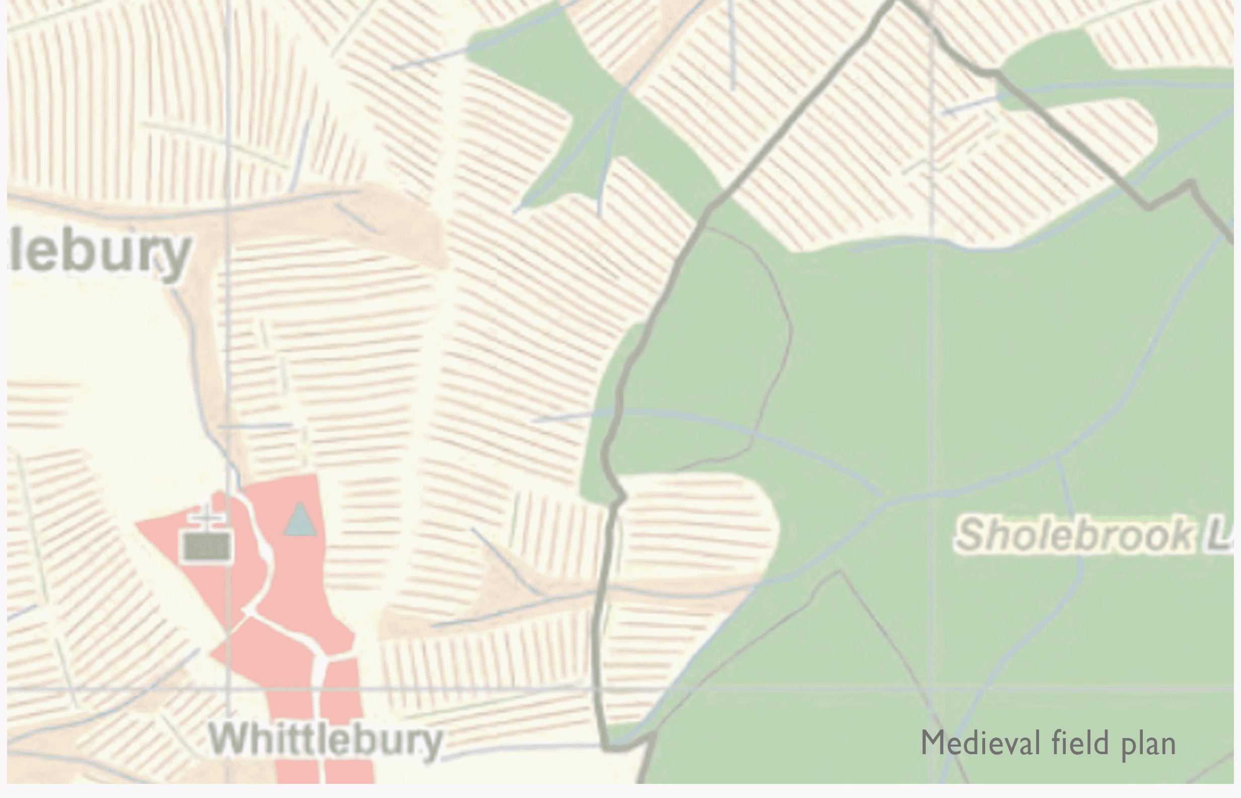
Here are some old maps of the area showing Sholebroke and the surrounding Whittlewood forrest. Although the area hasn’t changed much the changes are very interesting. Here is an overlay map of todays map against medieval field maps.
Map c 1833

Map c 1905

Map c 1950

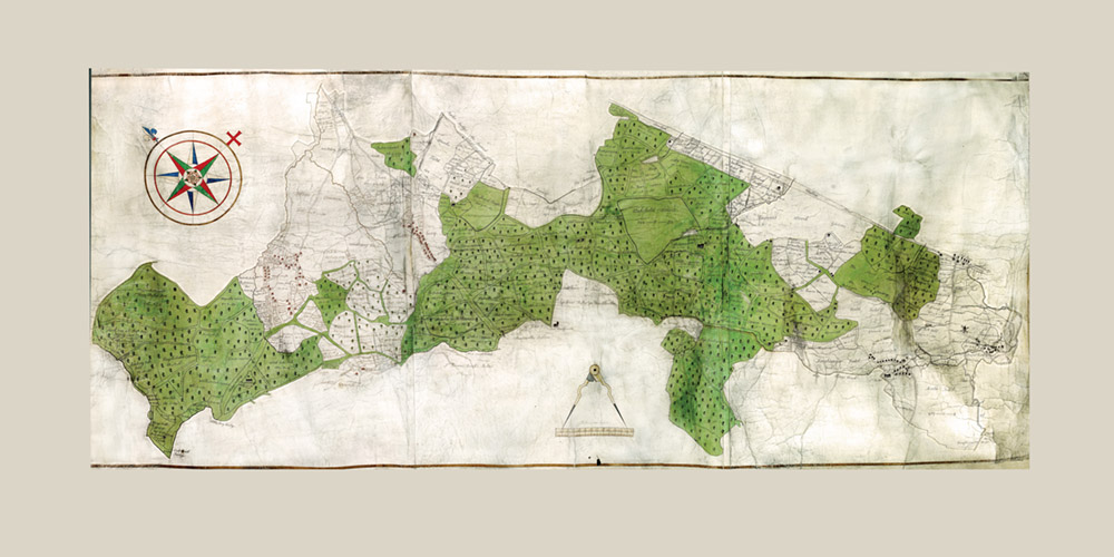
I have just spent a considerable amount of time digitising a 1508 Whittlewood forest Map – It was displayed on a 360 map but the site is down.
Here are some detail shots of the area.


